


Precision Civil Engineering Software
SOLE creates a variety of civil engineering software for Road design, Canal design, Water-supply design, Sewerage design & for land survey. Create longitude section, cross section, contour & calculate quantity.
Built for
Civil Engineers
Comprehensive AutoCAD-based design tools for modern infrastructure. Everything you need, built for Indian standards.
SOLE Road Design
The most comprehensive AutoCAD-based road design tool. From horizontal curves to quantity sheets — everything for modern highway engineering.
Explore →SOLE Piping
Automatic pipe sizing, flow analysis, and L-Section generation. Design complete water supply and sewerage networks with precision.
Explore →SOLE Earth
Bring live satellite imagery into AutoCAD. Generate contours, process drone data, read Google elevations, and create 3D terrain models.
Explore →SOLE Canal
Design canals, water supply, and sewerage networks. Generate cross-sections, longitudinal profiles, and quantity estimates.
Explore →SOLE Professional
The all-in-one professional suite. Terrain modeling, contours, slope analysis, surface mapping — everything a civil engineer needs.
Explore →Where SOLE
Makes Impact
Trusted by engineers across India in road, railway, terrain mapping, and water infrastructure projects.
Road Design
Railway Project
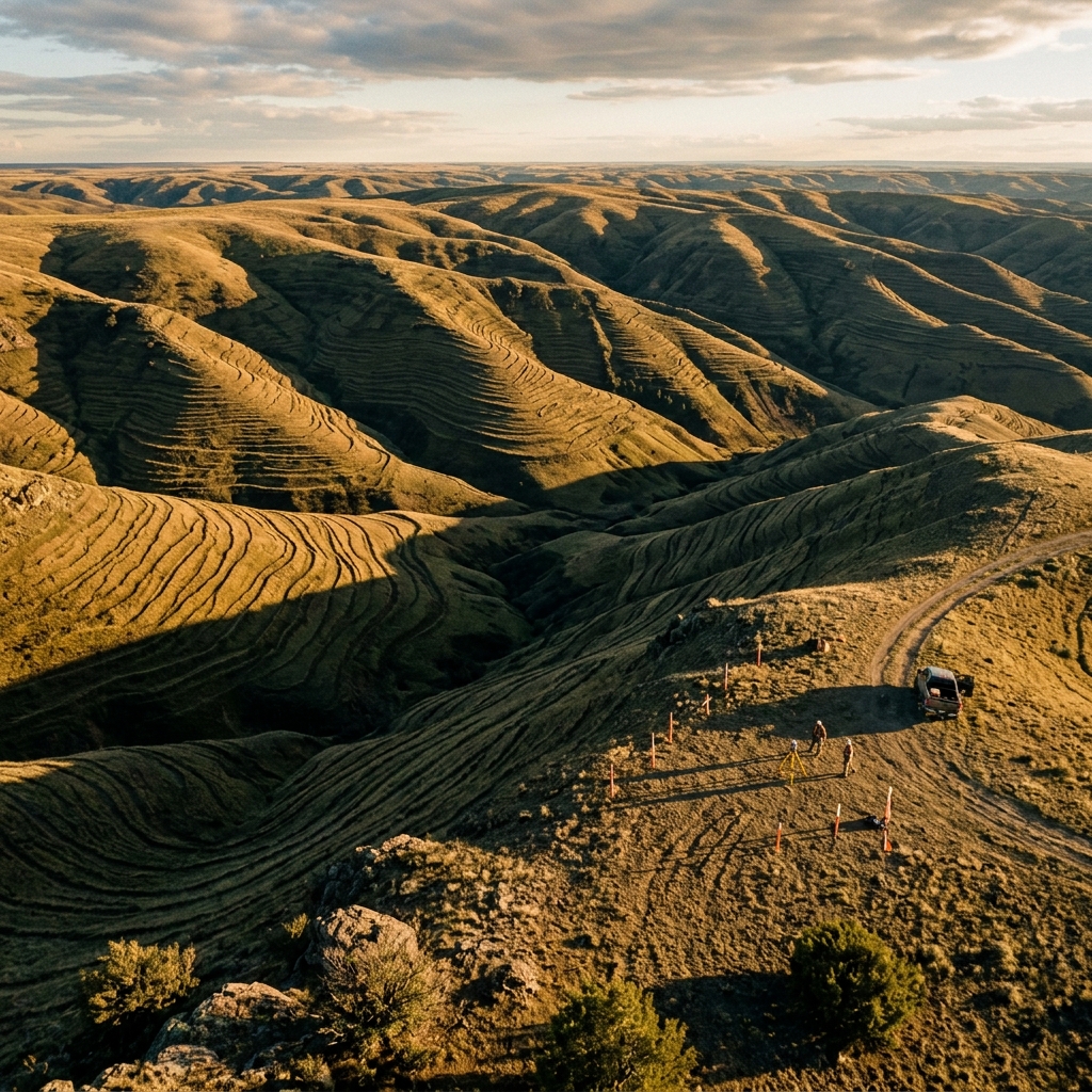
Terrain & Georeference
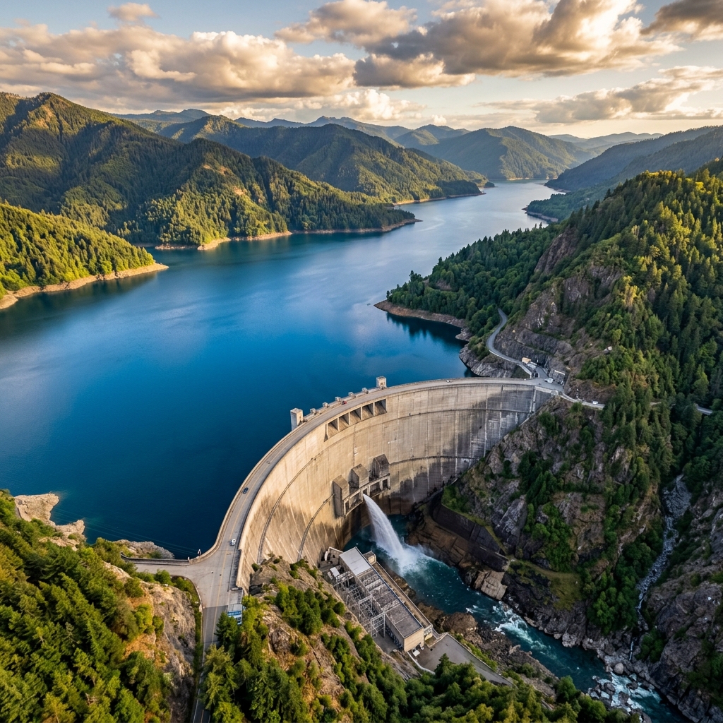
Water & Canal
SOLE Earth —
Now More Flexible
Choose the perfect plan for your workflow. Pay monthly or save big with annual billing.
* Introductory pricing — rates subject to revision.
Sole Earth
- ✓ All Features Included
- ✓ Contour, DTM, Quantity
- ✓ Live Map & Elevation
- ✓ Drone Processing
- ✓ No Internet Required
- ✓ 25K Images
- ✓ 2L Elevations
Sole Earth Full
- ✓ All Features Included
- ✓ Contour, DTM, Quantity
- ✓ Live Map & Elevation
- ✓ Drone Processing
- ✓ 25K Images
- ✓ 2L Elevations
Sole Earth Basic
- ✓ Contour & DTM
- ✓ Quantity & Cut/Fill
- ✓ Slope & Surface
- ✓ KML & Georeference
- ✗ Live Map & Elevation
- ✗ Drone Processing
Sole Earth Live
- ✓ Live Map (Google/Bing)
- ✓ Google Elevation
- ✓ Satellite Images
- ✓ Drone Processing
- ✓ 25K Images
- ✓ 2L Elevations
Meet SOLE
Road Design.
The ever-growing, multi-feature software. Fastest, most user-friendly, and built to generate top-quality modern road designs with precision.
20+ Features
Comprehensive road design toolkit
AutoCAD Native
Works with AutoCAD 2010 – 2025
IRC Compliant
As per Indian Road Congress standards
Let's Start
a Conversation
Have a question about our products or need a custom quote? Our team is here to help.
Call Us
Email Us
Visit Us
S-12, Alankar Plaza, Central Spine,
Vidhyadhar Nagar, Jaipur,
Rajasthan 302039, India
Send a Message
Fill out the form and we'll get back to you within 24 hours.